

Service summary
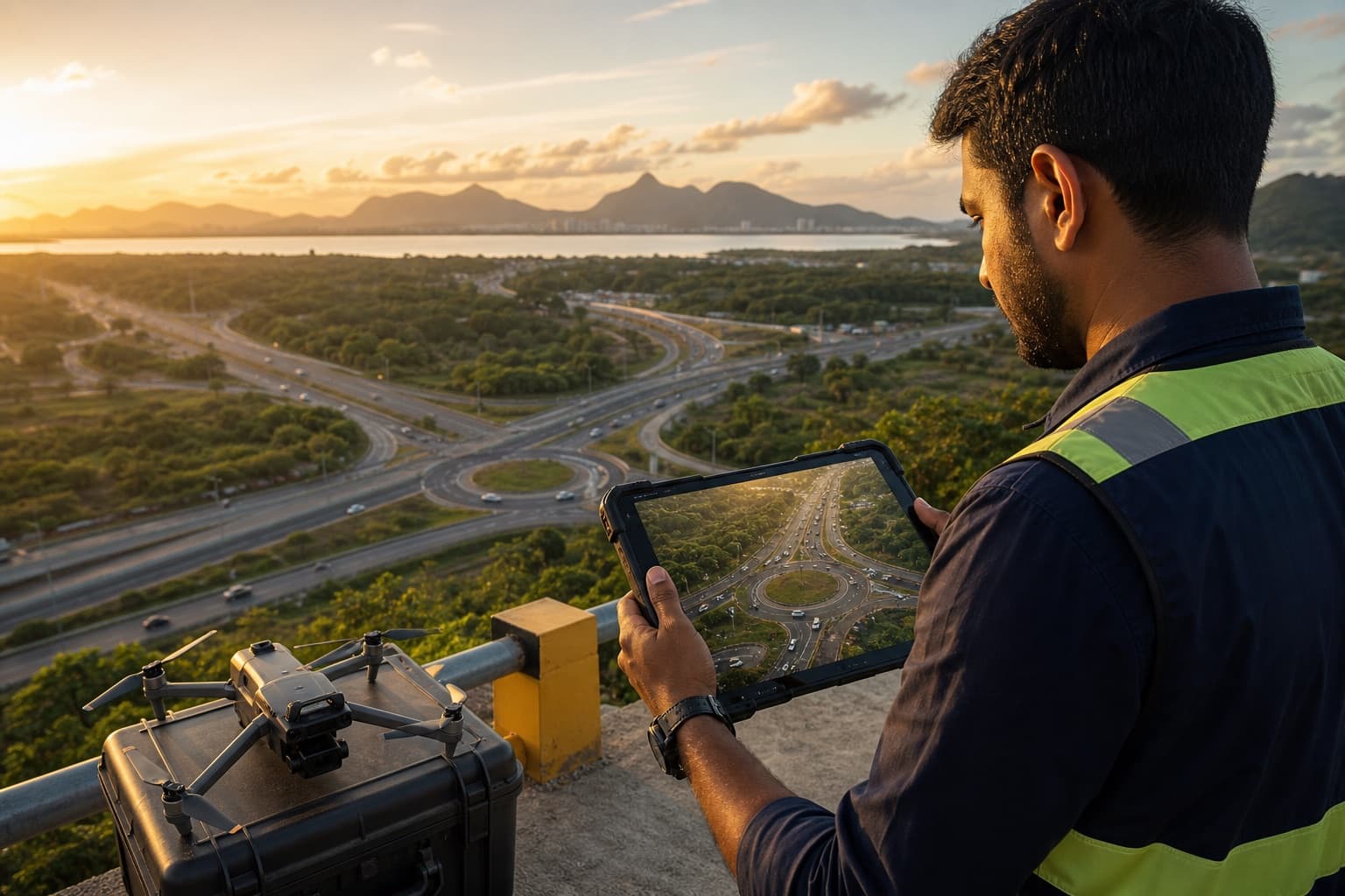
Drone survey counts use approved aerial footage to observe large intersections, roundabouts, corridors or parking environments.
When it is used
Use them where permissions, safety controls and source quality support the requested observation.
Methodology
Confirm lawful flight/footage arrangements, visibility, ground reference, observation matrix and secure transfer before processing.
Inputs and source requirements
Provide a location plan, dates, periods, defined observations, any classifications and required output files.
Movements and classifications
Movement, direction, lane and classification rules are agreed only where they are relevant to this study.
Time intervals
Set the reporting interval and any peak or operating windows before collection or processing.
Typical deliverables
Agreed data tables, location and methodology notes, defined assumptions and quality-review information.
Quality control
Check coverage, definitions, interval structure and delivery format against the approved brief.
Limitations
The result describes the defined observed scope and period; it should not be used to make claims beyond the available evidence.
Privacy and security
Sensitive files, video and identifiers are exchanged only through approved project workflows.
Frequently asked questions
Does drone footage guarantee better data?
No. It can improve overview, but resolution, stability and permissions still determine usable detail.
Can it cover a large intersection?
Often, when the approved view contains every required approach and movement.